Transit system planning
A bus stop is not accessible if riders cannot reach it
Evaluate the full walk or roll between homes, destinations, and the stop—not only the route line—to find first- and last-mile barriers that suppress useful access.

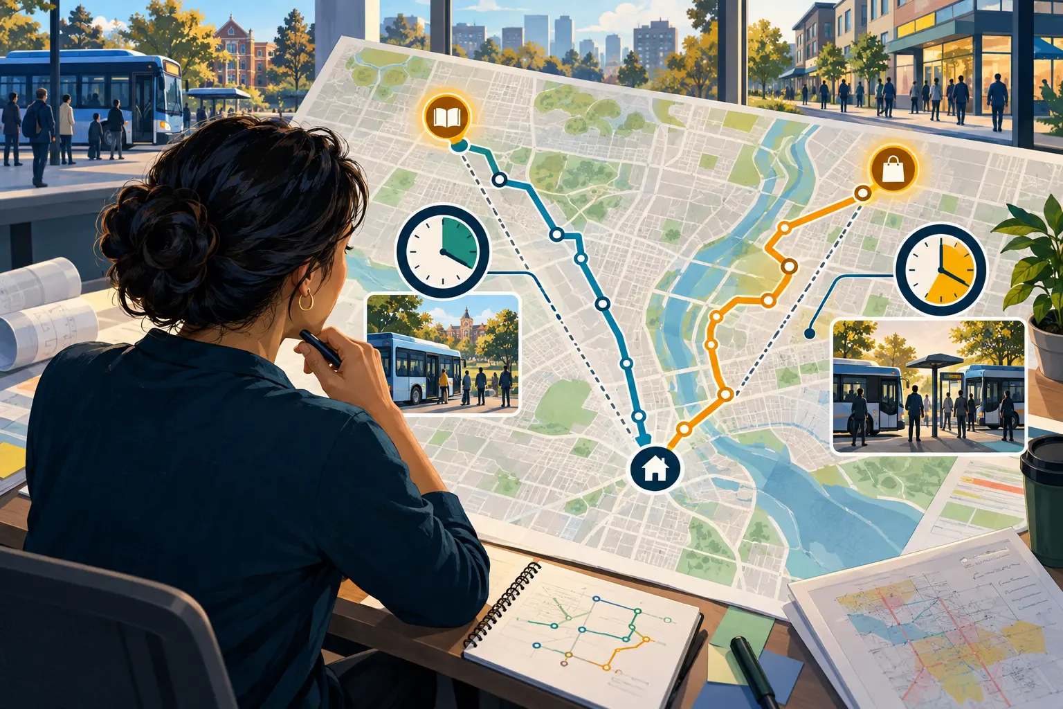
Original editorial illustration; not a photograph of Cathay operations.
A route map may show a neighborhood within walking distance of transit while the actual path includes missing sidewalks, a difficult crossing, steep grades, poor lighting, snow storage, or no direct entrance to the stop. First- and last-mile review asks whether people can realistically travel between their origin, the stop, and their final destination.
Trace real paths, not circles on a map
Begin with common origins and destinations—housing, schools, clinics, employment areas, shopping, and community services. Map the paths people actually use, including informal shortcuts and entrances that close after certain hours.
A quarter-mile radius is not the same as a quarter-mile walk. Barriers, street layout, and indirect crossings can make a nearby stop functionally distant.
Inspect the route on foot and with mobility needs in mind
Document sidewalk continuity, curb ramps, crossing distance, signal timing, grades, lighting, drainage, winter maintenance, and wayfinding. Observe the stop in both directions because the return-side path may be very different.
The Federal Transit Administration's pedestrian and bicycle connections manual recommends evaluating and improving access to transit, including direct routes and useful wayfinding.
Further readingFTA: Manual on Pedestrian and Bicycle Connections to Transit (opens in a new tab)Combine field findings with rider experience
Ask riders where they avoid walking or rolling, where they cross despite the official route, and which destinations feel unreachable. Compare those reports with crash history, maintenance responsibility, topography, ridership, and demographic data.
- Origin-to-stop and stop-to-destination paths.
- Daytime, evening, and seasonal conditions.
- Barriers for different mobility and sensory needs.
- Responsible owner for each possible improvement.
Turn observations into accountable projects
Rank improvements by severity, number of affected trips, feasibility, and coordination needs. Some actions may involve stop relocation or wayfinding; others require municipal sidewalk, crossing, lighting, or snow-management work.
A useful study names the responsible partner, next decision, estimated scope, and measure of success. Cathay Express Transportation can support field review and service-planning analysis for agencies building that practical work program.
Your next step
Evaluate access to a transit route
Connect with our team to discuss your needs and the available arrangements.